Industries

Built for complex physical projects.

Wherever progress is expensive to verify and slow to report, Infrarity turns the photos teams already take into measured progress and early warnings.

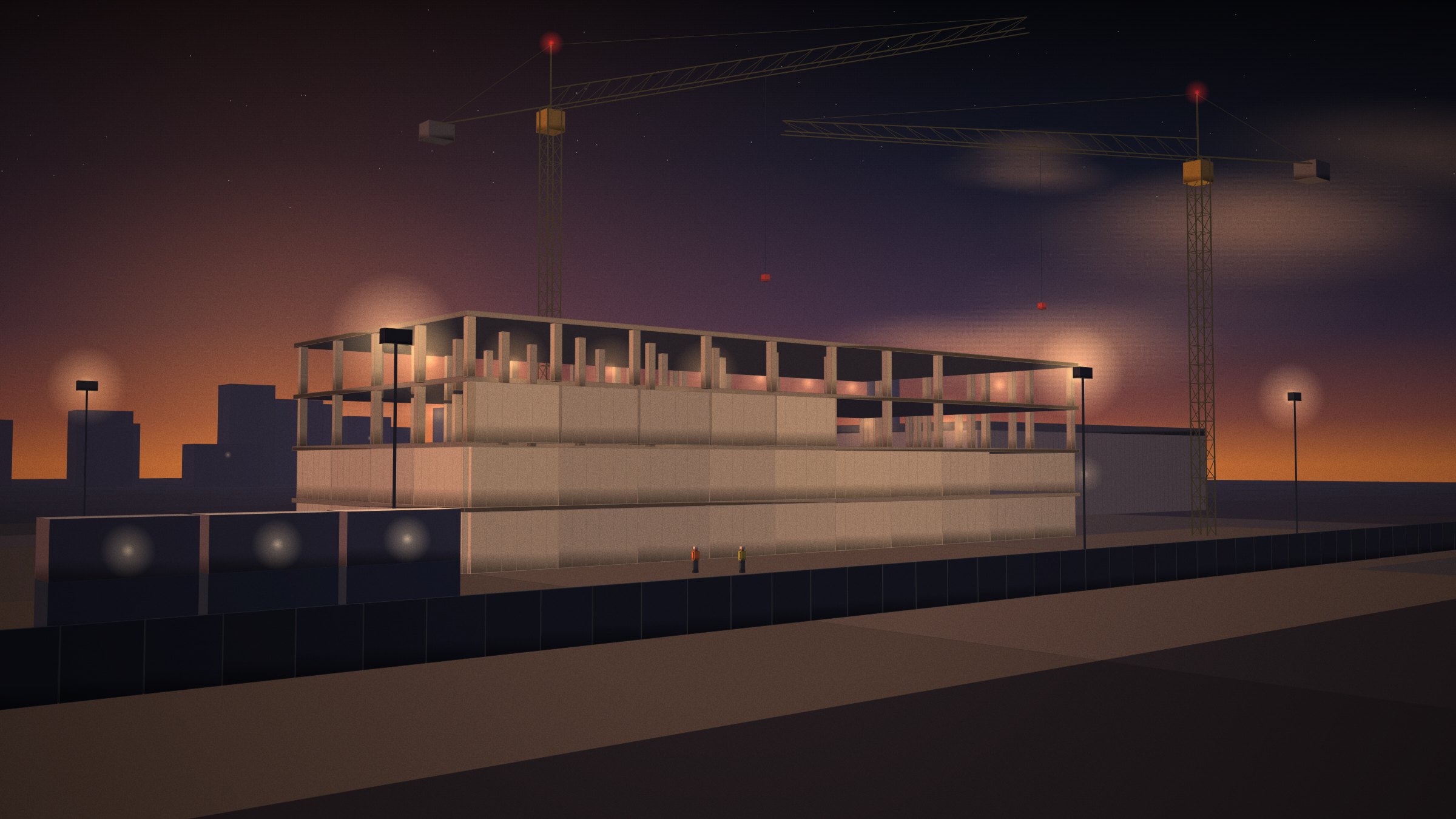
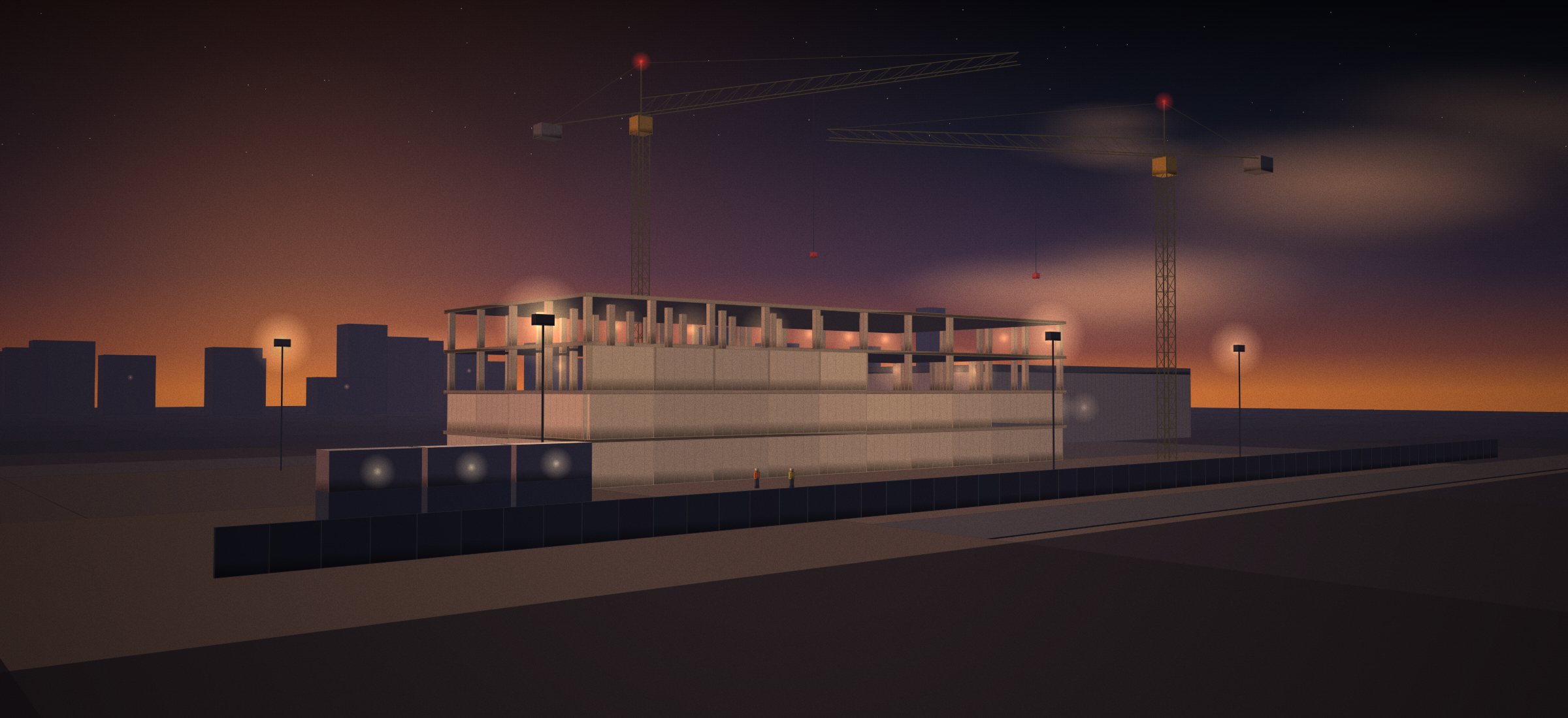
A data center under construction at dusk with tower cranes

Featured · Data centers

Our sample project is a data center for a reason.

Data center programmes compress structure, envelope and dense MEP into tight, critical-path schedules. A plant room that stalls for a week matters. Infrarity shows it on the map the day the photos arrive.

Explore the Meridian sample project
  • Data centers

    Mission-critical construction monitoring.

    What matters
    Compressed schedules and an MEP-heavy critical path
    Infrarity focus
    Mechanical and electrical progress, critical-path risk
  • Commercial construction

    Building and development projects.

    What matters
    Multi-trade sequencing and owner reporting
    Infrarity focus
    Zone progress and weekly owner reports
  • Industrial projects

    Factories, warehouses and production facilities.

    What matters
    Large floor plates and equipment-install readiness
    Infrarity focus
    Area-by-area progress across large footprints
  • Infrastructure

    Transportation and civil projects.

    What matters
    Linear sites and long durations
    Infrarity focus
    Section-by-section progress; drone imagery later
  • Energy

    Power and energy infrastructure.

    What matters
    Remote sites and infrequent visits
    Infrarity focus
    Remote progress verification from field-team photos
  • Large residential

    Multi-building development monitoring.

    What matters
    Many repeated buildings and units
    Infrarity focus
    Building-by-building comparison

Explore the sample project.

Walk through the sample project from site capture to weekly report.